为了帮助广大测绘地信同行的使用,点点GIS在ArcGIS online发布了Google系列地图,涵盖Google影像带标注,Google影像无标注,Google道路,Google地图,Google地形共五个图层,无需科学上网即可使用
使用方法:
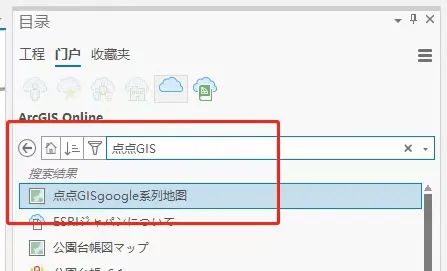
在ArcGIS Pro目录窗格中的ArcGISonline下搜索点点GIS,右键添加并打开地图即可。
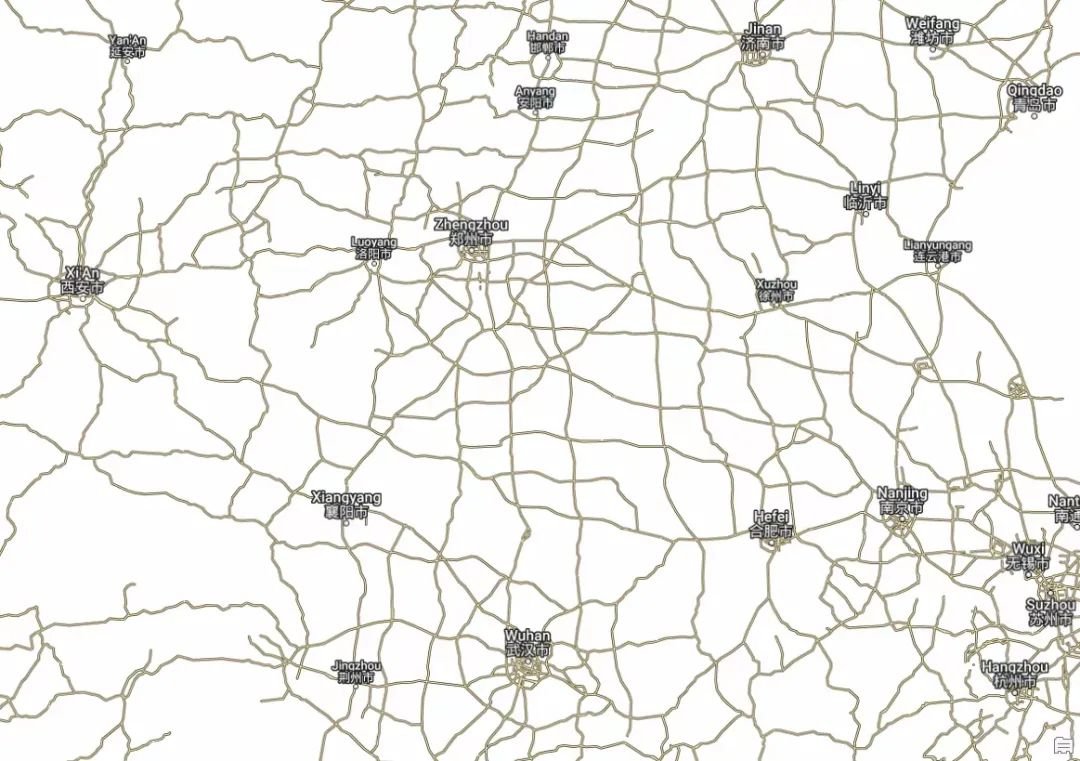
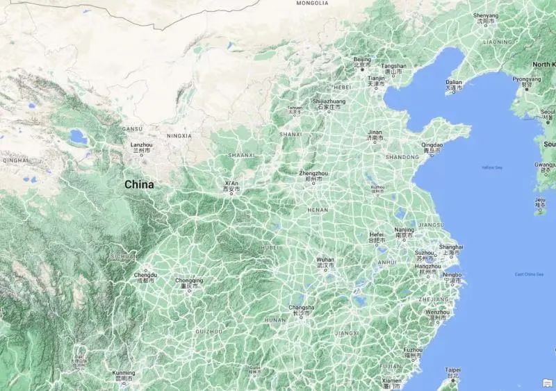
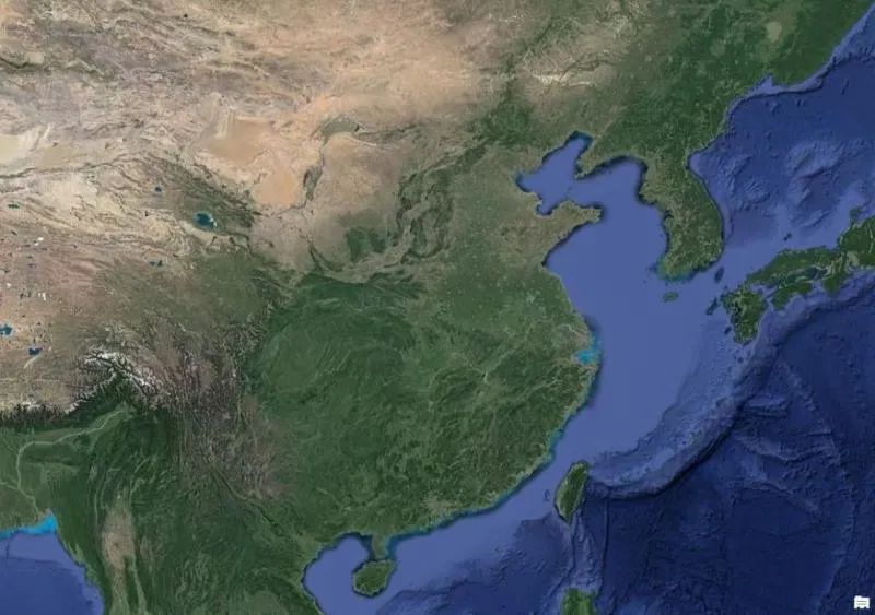
为了帮助广大测绘地信同行的使用,点点GIS在ArcGIS online发布了Google系列地图,涵盖Google影像带标注,Google影像无标注,Google道路,Google地图,Google地形共五个图层,无需科学上网即可使用
使用方法:
在ArcGIS Pro目录窗格中的ArcGISonline下搜索点点GIS,右键添加并打开地图即可。

root
这个人很懒,什么都没留下
文章评论